
Stories
LIDAR SCANNING · 360° PHOTOGRAPHY · DRONE SCANNING · 2D DRAFTING · 3D MODELING ·
-

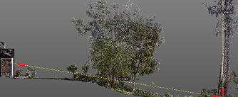
Using LiDAR for Tree Safety and More
Scanning landscapes yields surprising benefits beyond topo and tree locations: measure height and canopy, analyze volume and lean, and preview…
-

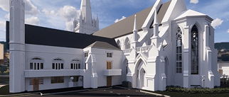
Recording the Past for the Future
Scanning, photographing and modeling provides remote access, records “doomed” buildings and can guide reproduction in the event of a catastrophic…
-
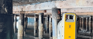
SFYC Piling Documentation
Salt Water, Rising Tides and Planning for Sea Level Change Founded in 1869, the San Francisco Yacht Club is the…
-

Existing Conditions vs. As-Builts
Existing Conditions Captures “Before” and As-Builts Records “After” At the beginning, sometimes before a property is purchased, the buyer, agent,…
-

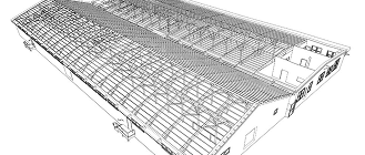
What (the Heck) is BIM?
3D Models Take a Little More Time But Add A LOT of Value BIM, Building Information Modeling, is CAD,Computer Aided…